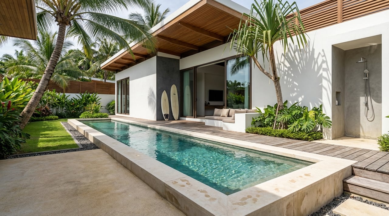
You can picture the cabins, the forest breeze, and guests stepping off a small plane into a wild, beautiful coastline. But choosing the right parcel near Puerto Jiménez is not simple. The Osa Peninsula mixes remote access, protected habitats, and unique permitting steps that shape what you can build and how fast. This guide shows you how to screen eco-retreat land before you commit, so your first site walk is focused and your timeline is realistic. Let’s dive in.
Why Puerto Jiménez suits eco-retreats
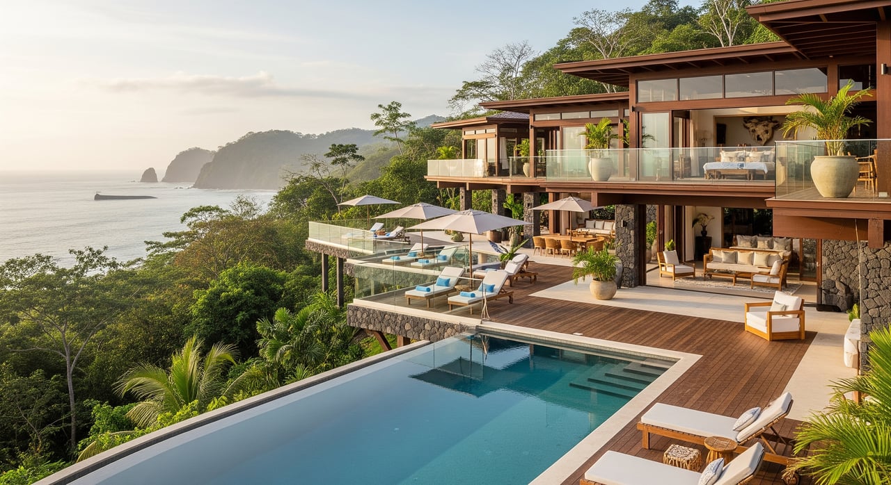
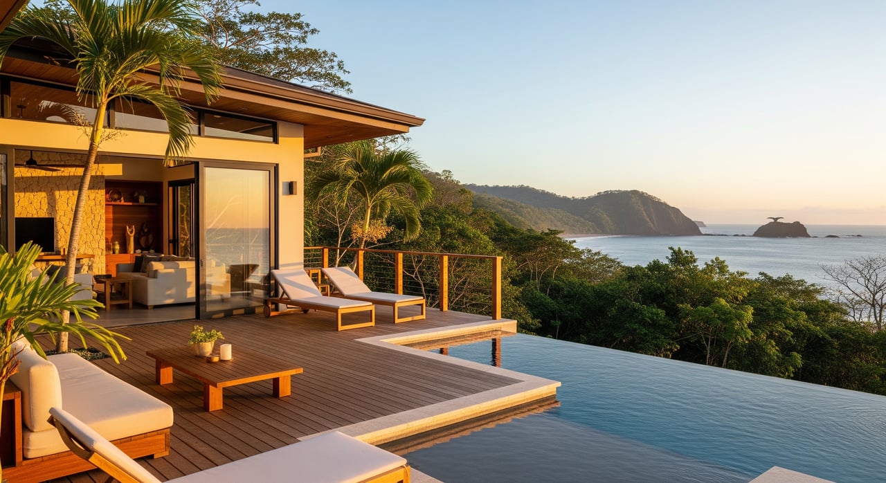
Puerto Jiménez is the main town on the Osa Peninsula. It sits within a globally important biodiversity region with access to Corcovado National Park and Golfo Dulce. The landscape includes primary and secondary rainforest, steep ridges, rivers, mangroves, and beaches. You also have a small domestic airport and basic services in town.
The tradeoff for this setting is remoteness by Costa Rican standards. Many roads are unpaved and seasonal conditions can slow travel. Some parcels are best accessed by boat or small aircraft. That mix is part of the appeal for guests. It also means you must evaluate access, utilities, and conservation constraints early.
Access and logistics: verify first
Road access and seasons
Start with the road in. Note pavement status, last-mile conditions, and any river or bridge crossings. Many rural routes require 4x4, and seasonal rains can shut down sections. If a private road serves the parcel, factor in maintenance and surfacing.
Ask recent travelers and local operators about rainy season closures. Check with the Municipalidad de Golfito about current works or known weak bridges. Poor access increases transport costs and timelines more than almost any other factor.
Air and marine options for guests
Scheduled domestic flights to Puerto Jiménez can be a major advantage for high-value guests. For waterfront or near-coast sites on Golfo Dulce, look for safe coves or docks that can handle guest arrivals and material deliveries. Align your market positioning with the transfer experience your guests will accept.
Local supply and labor
Map distances to fuel, medical care, materials, and skilled labor in Puerto Jiménez. Confirm availability of construction crews and equipment rentals. The farther you are from services, the more buffer you need in budget and schedule.
Pre-visit checks
- Call the Municipalidad de Golfito for road status and any planned improvements.
- Review recent aerial imagery to understand last-mile road and terrain.
- Confirm domestic flight schedules and cargo limits for key materials.
- Ask dock operators about tides and seasonal conditions if marine access matters.
Water: sourcing, rights, and reliability
Potable water options
- Municipal or community systems. In town, AyA or local ASADAS may supply water. Outside town, many parcels rely on ASADA or private systems.
- Wells. Groundwater wells are common where geology permits. Water is a public resource in Costa Rica, so extraction requires authorization with the relevant authorities.
- Surface water. Springs or streams can support gravity systems. You must assess seasonal flows and plan for treatment. New withdrawals can trigger environmental permits.
- Rainwater harvesting. A smart primary or backup source when storage and treatment are designed for guest use.
Legal considerations
Water rights are not absolute private property. Verify service availability with AyA or the local ASADA. Ask whether protected hydrological zones or riparian setbacks affect development. New withdrawals from springs or rivers may require environmental permissions.
On-the-ground checks
- Request ASADA membership status, well logs, and any water quality tests from the seller.
- Ask AyA or the ASADA about network extension feasibility, costs, and timelines.
- Identify springs and streams during your walk and note dry-season flow.
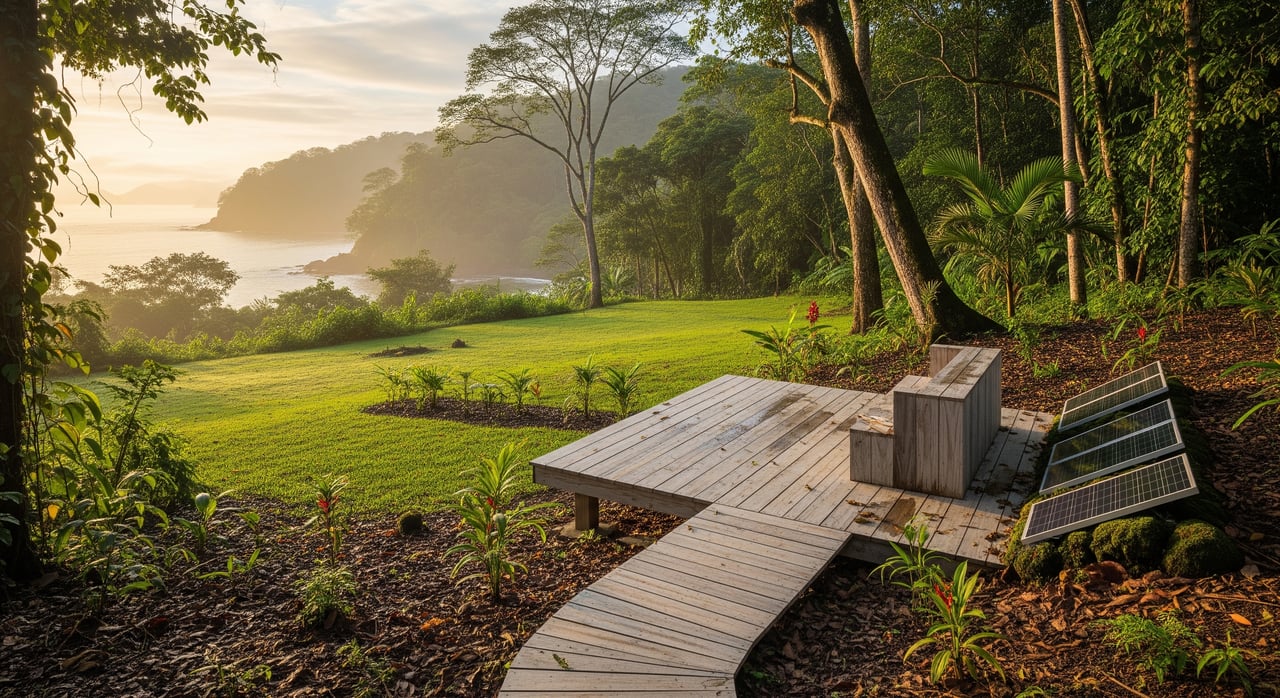
Power: grid or hybrid off-grid
ICE grid connection
ICE is the main electricity provider. Many properties near Puerto Jiménez have grid access, but remote parcels may require long line extensions. These can be costly and slow. ICE can provide proximity details and extension estimates.
Solar and storage
Solar PV with batteries is a mature solution for remote eco-retreats. Most operators use a hybrid design with a diesel or propane generator for backup. Think through fuel logistics, service access, and noise control for a quiet guest experience.
Practical steps
- Ask ICE for the distance to the nearest distribution line and a rough extension quote.
- Estimate annual energy needs for lodging, kitchens, water pumping, cooling, and treatment.
- Size renewables and storage conservatively and plan for redundancy.
Terrain, soils, and natural risk
Slope and stability
Steep slopes raise costs for earthworks, access, and foundations. They also carry higher landslide risk in heavy rains. Commission a basic topographic map and a geotechnical reconnaissance before you buy. Even a preliminary review helps you avoid high-risk parcels.
Floodplain and coastal hazards
Sites near rivers, estuaries, mangroves, or the coast face flood, surge, and erosion risk. Look for seasonal high water marks and note drainage patterns. Mangroves are protected, and buffers may limit building and clearing.
Early studies worth the spend
- Topographic survey with slope mapping.
- Geotechnical reconnaissance to guide foundation choices.
- Flood and drainage review using municipal data and field observations.
Conservation and biodiversity interfaces
Protected areas and buffers
The Osa’s biodiversity and conservation status shape what you can do. Parcels that overlap national parks, reserves, wetlands, or mangroves face strict limits or prohibitions. Get written confirmation from SINAC on protected area boundaries and any buffer considerations.
Forest cover and PES
Mature forest and old growth trigger stricter review. Some parcels are enrolled in Payments for Environmental Services through FONAFIFO. That can add obligations and also open funding or partnership options. Request any existing PES contracts before you proceed.
Species and sensitive habitats
Endangered species and key habitats can require mitigation and limit activity. Local NGOs and research groups often have up-to-date corridor and species data. A rapid biodiversity reconnaissance can de-risk early design decisions.
Practical checks
- Ask SINAC for maps and a formal response on protected area status and rules.
- Request any environmental studies or inventories from the seller.
- Consider a specialist to flag sensitive habitat during your first walk.
Title, zoning, and community
Title and boundaries
Verify ownership, liens, easements, and boundaries at the Registro Nacional. Ask for the plano and confirm the coordinates. If access crosses another property, confirm legal easements are recorded.
Municipal rules
Check permitted uses, density, building setbacks, and wastewater requirements with the Municipalidad de Golfito. Tourist lodging uses are common, but specifics matter by location and context. Coastal setback laws and riparian buffers may apply.
Community relationships
ASADAS and local organizations influence project acceptance and timing. Early outreach builds trust and solves practical challenges like water, access maintenance, and hiring.
Permitting roadmap in Costa Rica
Preliminary due diligence
- Title search at the Registro Nacional.
- Protected area and zoning queries with SINAC and the Municipalidad.
- Utility proximity checks with ICE for power and AyA or ASADA for water.
- Review topography and aerial imagery. Check any PES status with FONAFIFO.
Rapid on-site reconnaissance
- Walk the site to note streams, mangroves, forest types, and wildlife signs.
- Test drive access routes and last-mile conditions.
- Meet the ASADA, community leaders, and municipal staff.
SETENA classification
- SETENA determines if your project needs a full Environmental Impact Assessment or a simpler authorization. Proximity to protected areas and project size often drive this.
Technical studies
- EIA if required, with mitigation measures.
- Geotechnical study for slope stability and foundations.
- Hydrology and water availability.
- Wastewater design that meets AyA or municipal rules.
- Biodiversity surveys where forest clearing or sensitive areas are involved.
Municipal construction permit
- Submit plans and approvals to the Municipalidad de Golfito.
Sectoral permits and registrations
- Water extraction permits or AyA service approvals.
- ICE connection or notices for off-grid systems.
- Health and sanitary permits from the Ministerio de Salud for guest services.
- Tourism operation registration with ICT if you will host guests.
Ongoing compliance
- Implement environmental management during construction. Submit any required monitoring to SETENA or SINAC. Comply with PES rules if applicable.
Timing and cost signals
Smaller, low-impact projects that avoid protected areas and heavy tree clearing can move from municipal approvals to permits in weeks to a few months. If you trigger a formal EIA, major road works, large water withdrawals, or big wastewater systems, expect many months for studies and reviews. Budget for technical reports, utility connections or extensions, road upgrades, and mitigation if forest clearing is needed.
First-pass screening checklist
Use this on a remote review and before your first site walk:
- Confirm seller identity, title, plano, and easements at the Registro Nacional.
- Ask the Municipalidad de Golfito about zoning and tourist lodging use.
- Query SINAC on protected areas, buffers, wetlands, or wildlife corridors.
- Verify access type and last-mile road condition. Ask about rainy season issues.
- Map time to the airport, docks, and supply centers.
- Ask AyA or the ASADA about water service or extension feasibility. Request well logs or past tests if any.
- Identify wastewater options that meet local rules.
- Confirm ICE line proximity and request a rough extension estimate if needed.
- Check mobile coverage and internet options. Plan for backups.
- Flag steep slopes over 25 to 30 percent, erosion, and landslide signs.
- Note proximity to rivers, estuaries, mangroves, and beaches.
- Request any environmental studies, PES contracts, or species notes from the seller.
- Identify local stakeholders and a guide who knows seasonal access.
Who to contact first
- Municipalidad de Golfito for zoning, permits, and cadastral orientation.
- Registro Nacional for title and plano.
- SINAC for protected area maps and rules.
- SETENA for environmental classification and study requirements.
- MINAE for water and environmental policy context.
- AyA and local ASADAS for potable water and wastewater requirements.
- ICE for grid connection feasibility.
- FONAFIFO for PES status and opportunities.
Budget and schedule pitfalls to flag early
- Long electric or water line extensions and costly road upgrades.
- Parcels inside or next to protected area buffers.
- Large-scale tree clearing or presence of protected species.
- Seasonal access that slows material delivery and crew movement.
Make your site walk count
Before you go, secure the cadastral plan, aerial imagery, and any seller studies. Send parcel coordinates to SINAC and the Municipalidad for written status on protected areas and permitted uses. Ask ICE and AyA for short memos on service proximity. Arrange a local guide and, if possible, a bilingual environmental consultant to join the first walk. Bring a simple checklist, GPS-enabled mapping, and basic PPE.
With the right parcel near Puerto Jiménez, you can deliver a rare guest experience while honoring the landscape. Early due diligence saves months and protects your vision. If you want a seasoned partner to help screen parcels, coordinate local queries, and plan a clean path to permits, reach out to Jorge Elizondo for concierge-level guidance.
FAQs
How long does permitting take near Puerto Jiménez?
- Small, low-impact projects that avoid protected areas can move in weeks to a few months. Projects that need a formal EIA or major infrastructure often take many months.
Do I need an Environmental Impact Assessment for an eco-retreat?
- SETENA decides based on size, location, and sensitivity. Parcels near protected areas or with larger footprints are more likely to require a full EIA.
Can I run an eco-retreat off-grid in the Osa?
- Yes. Many operators use solar with batteries and a backup generator. Plan for fuel logistics, maintenance, and noise control, and size systems conservatively.
How do I secure legal water for my project?
- Verify service with AyA or the ASADA. For wells or surface withdrawals, seek proper authorization. Document sources, rights, and seasonal reliability before purchase.
What are the rules near rivers, mangroves, or the coast?
- Riparian setbacks and mangrove protections limit clearing and building. Flood and erosion risks also affect layout. Confirm buffers with the Municipalidad and SINAC.
Who are the key agencies I should contact first?
- Start with the Municipalidad de Golfito, SINAC, ICE, AyA or the local ASADA, and the Registro Nacional. They guide zoning, conservation, utilities, and title.
Are there incentives for keeping forest on my land?
- Parcels may qualify for Payments for Environmental Services through FONAFIFO. Ask about current PES status and program requirements during due diligence.